LE Geospatial & Heritage
Independent Geospatial & Heritage Surveying
A permanent record begins with a survey. Through repeatable, evidence-based field recording, LE Geospatial & Heritage documents historic sites, structures and changing landscapes, preserving accurate records for future research and conservation.
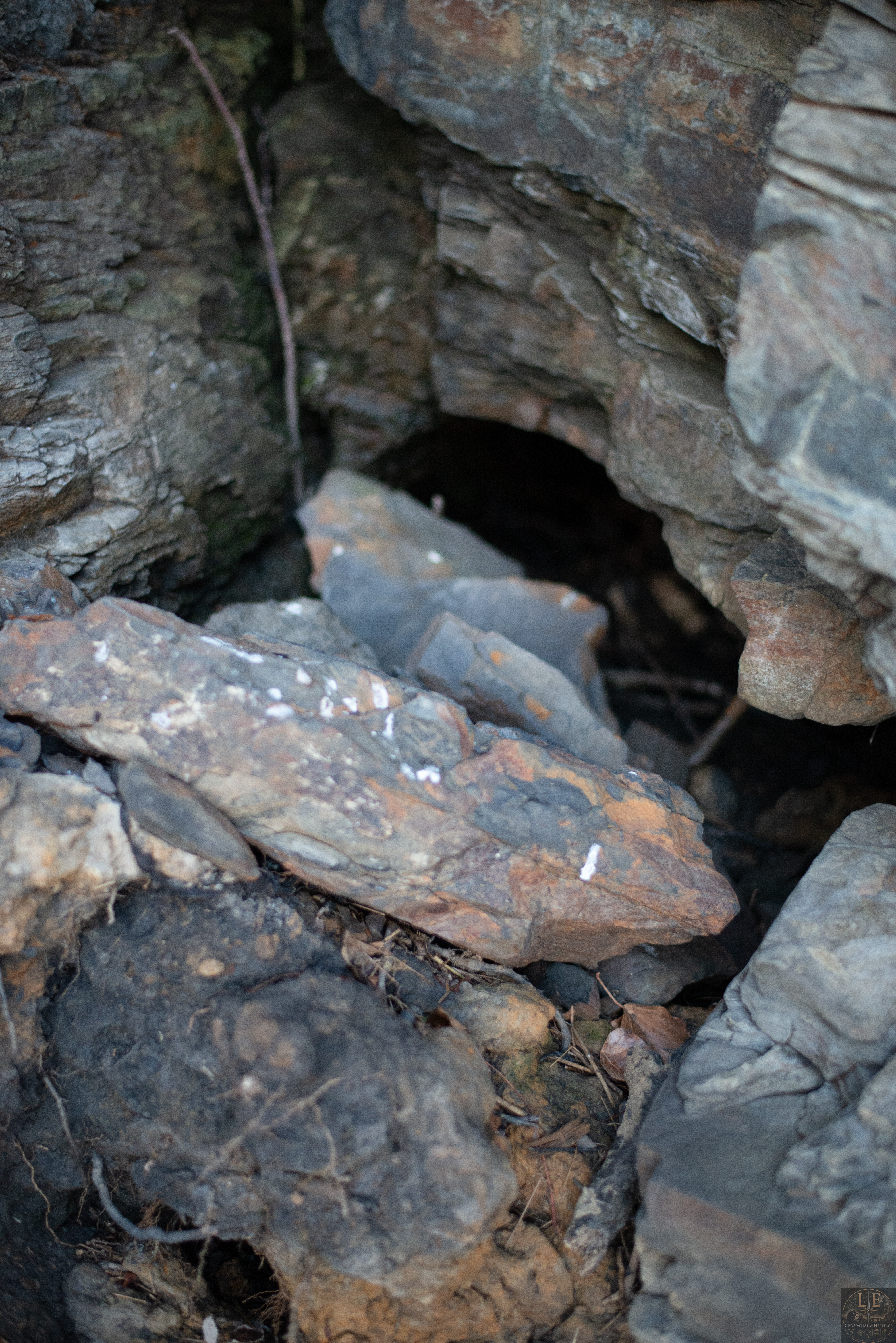
INDEPENDENT GEOSPATIAL & HERITAGE SURVEYING
Recording Landscapes Before They Are Lost
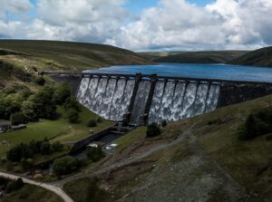
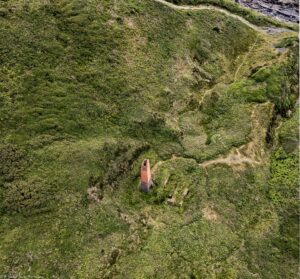
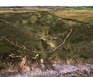
LE Geospatial & Heritage undertakes independent geospatial and heritage surveying across Wales, creating repeatable, evidence-based records of historic sites, structures and changing landscapes. Every survey is designed around the location, using the most appropriate combination of aerial survey, ground photography, historic mapping, documentary research, photogrammetry and immersive recording.
Repeat Surveying
Some places change slowly. Others can change overnight. Repeat surveys create a permanent chronological record, allowing landscapes, structures and archaeological features to be monitored and compared over time.
Evidence-Based Site Records
Survey data can be developed into detailed Site Records that combine field observations with historical sources, mapping and imagery. Each conclusion is supported by the available evidence, allowing others to understand both the findings and how they were reached.
Independent Survey Work
Surveys may be undertaken independently or to an agreed specification for landowners, heritage organisations, researchers, local authorities and community groups where repeatable field recording is required.
Preserving the Record
The landscape changes continually through natural processes, agriculture, development and time itself. Once information is lost, it cannot be recreated. Careful surveying helps preserve that record for future research and understanding.