
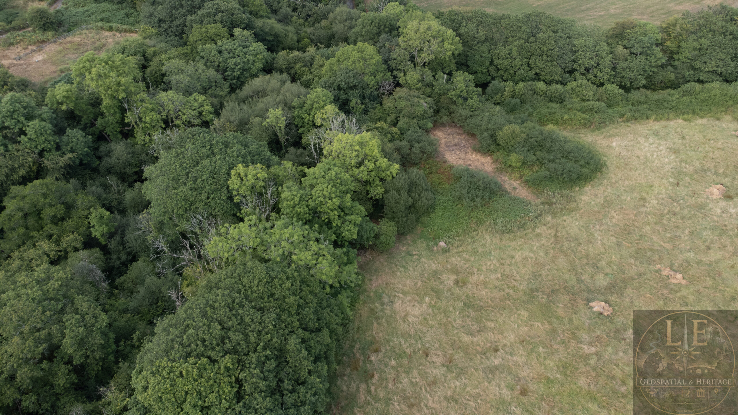
Lady Berwick Pit was a small series of workings, located within the wider Landshipping coalfield, and just beyond the Martletwy parish boundary line.
It is shown on Industrial survey maps from the late 18th century, which provide an overview of all the mining operations taking place in and around Landshipping, during the time of the survey itself.

The British Geological Society mention Lady Berwick (also known as Mill Pit) in passing, during their early 19th century survey of the area, and state that the working sunk was exploratory in nature, with no permanent engine house or associated structures.
And here, lies the problem.
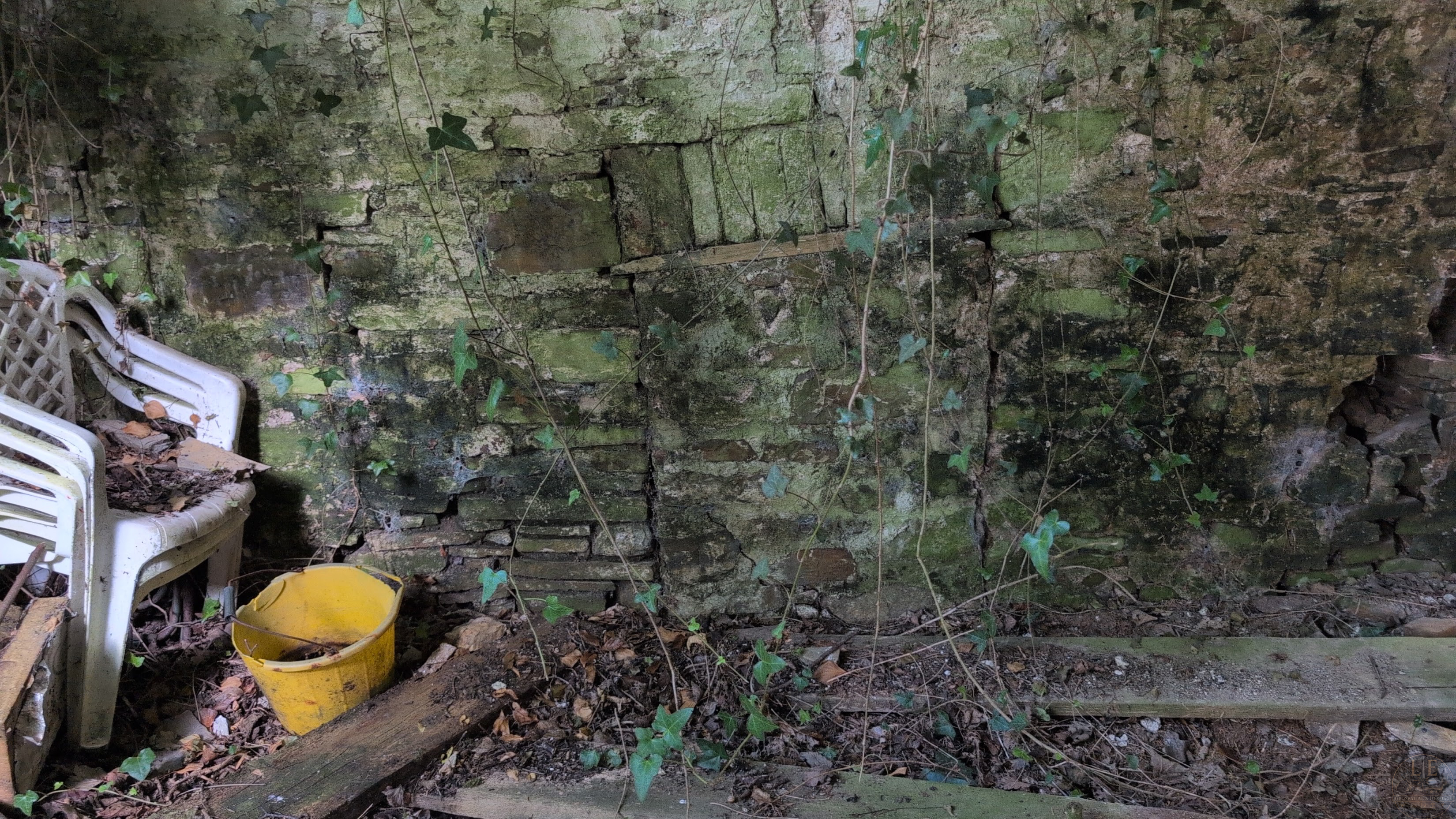
As we look at Lady Berwick today, directly opposite the large spoil heap, stands a substantial structure; Extremely thick walls, certain parts of this are compromised of locally produced stone, with a red brick core, and a lime outer coating.
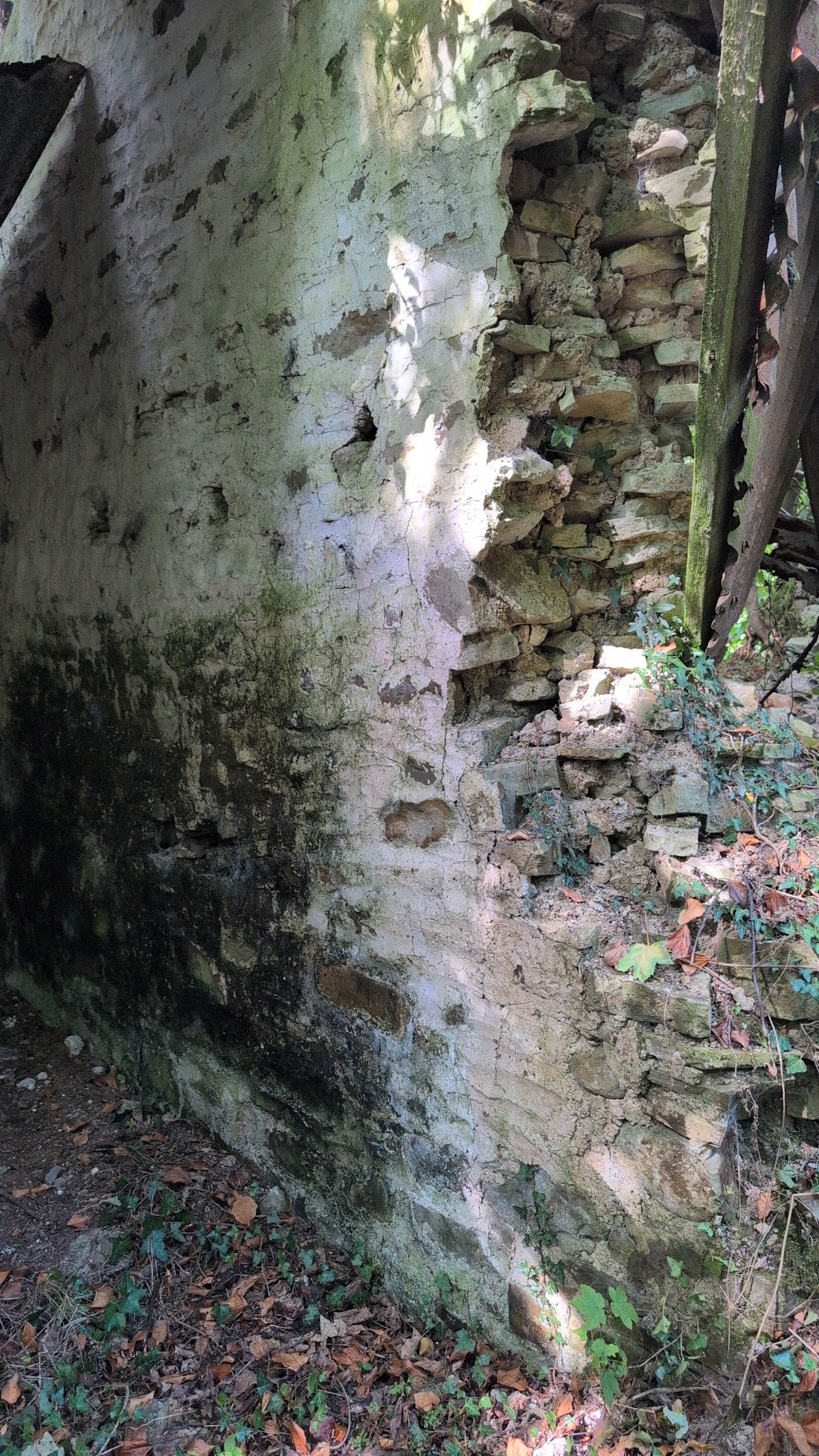
Also visible within the walls of one of these rooms, is a now blocked up opening, which, when viewed from the outside, corresponds to a linear feature that extends through the woodland and in the general direction of Landshipping Quay – It is possible that this is perhaps, a very old “coal road”, used for transporting raw material to the ships waiting at the quay itself.
Attempts to research this specific location have continuously been met with articles and literature that talk about Landshipping colliery or Garden Pits – Both equally important and well worth researching, but they are not Lady Berwick.
Efforts have been made to extensively survey the structural remains that still stand, this includes a full dataset of the building, the surrounding landscape immediately around the building, and separately, the spoil tip, by means of both ground based photogrammetry and video, and also that of aerial photogrammetry.

The resulting data-set compromises over 3,000 individual photographs, covering the location from every angle, and capturing every possible crevice.
The linear feature, and indeed that of the building and the spoil tip, have also been recorded by means of video.
The field that Lady Berwick occupies is also now subject to an intensive aerial survey, designed to capture the area that Lady Berwick, and indeed, a much earlier recorded coal shaft, occupied – This will be achieved by conducting multiple passes, at different heights, and at different angles, to create a true-to-life representation of the area, whilst also enabling a permanent record to be held for monitoring purposes.
Confusion over the years has also arisen, due to speculation that the building in question, perhaps formed part of the now ruinous Landshipping Corn Mill.
It is my opinion that this is not the case.
Landshipping Corn Mill, whilst largely absent from the present day landscape, does still present itself as a large square depression within what is now marshland and trees.
Structural remains are present.
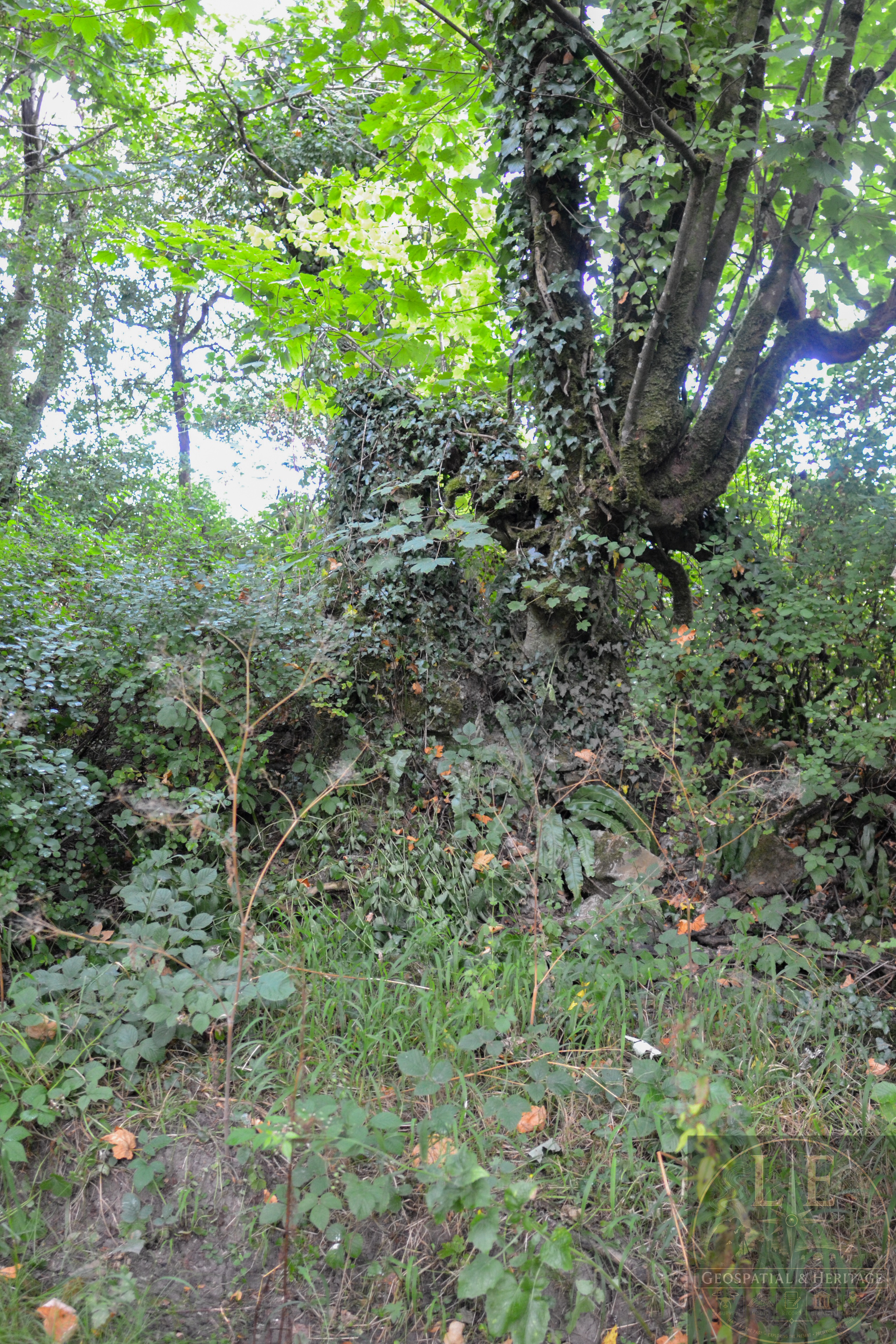
The building material used in the remains that are present do not contain evidence of red brick, or other hardier materials that would usually be associated with a building constructed for mining purposes – The building opposite Lady Berwick, however, does include this.
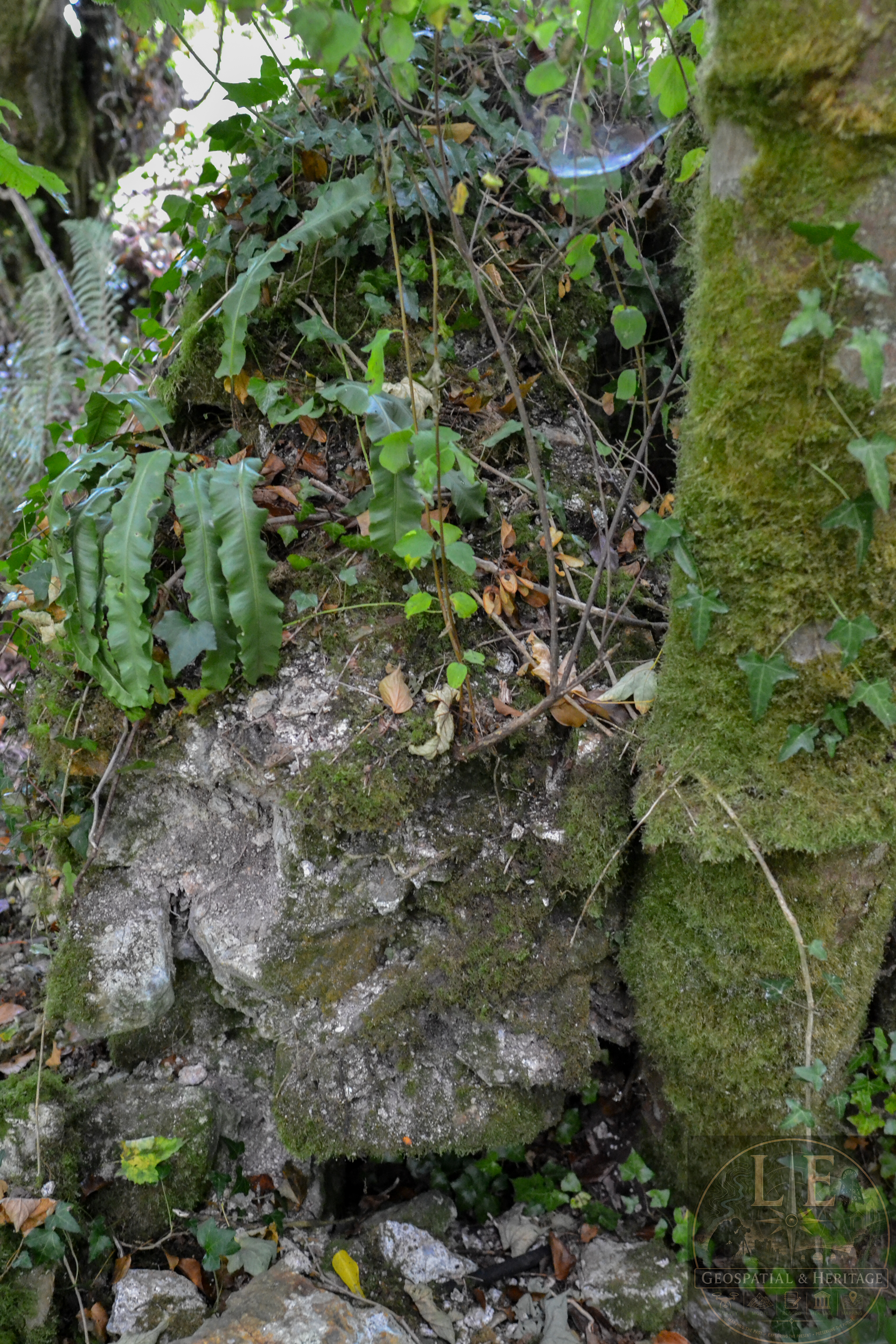
The location for Landshipping Mill is also entirely different from that of the building at Lady Berwick; The Mill itself, is positioned over a watercourse, that feeds into the stream, that subsequently meanders its way through a glacial valley and discharges into the Cleddau Estuary via Landshipping Bridge.
Even in prolonged dry periods, the location of this watercourse is evidenced by a large patch of bogland.
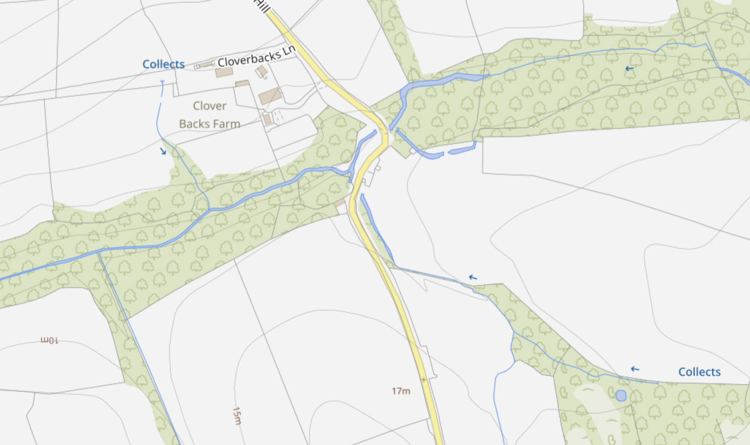
Likewise, after periods of intense or prolonged rainfall, the area directly under where the Mill would have once stood, can no longer cope with the influx of water; The drainage channel originally associated with the Mill is too heavily silted up, and the modern culverted drainage simply becomes overwhelmed, leading to impassable flooding of the road.
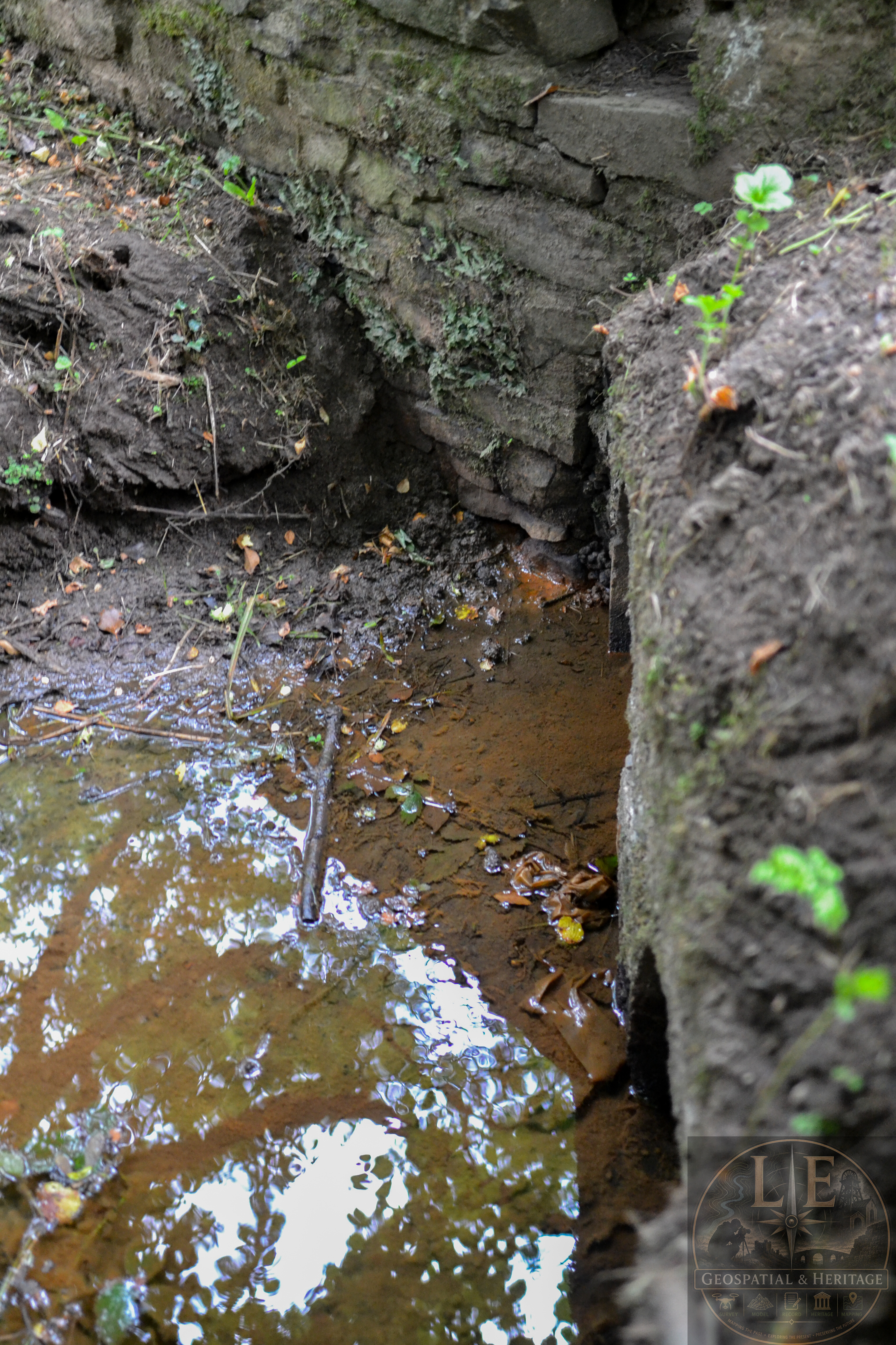
It is highly important, however, to note that this does not occur near, or involve, the building that is associated with Lady Berwick.
The building in question, whilst use can not be proven, meets the criteria for being involved with complex mining operations, and the split room construction, with external and internal wall thickness and construction, suggest that one room may have been for winding operations, and the second room, for an engine.
Evidence of possible foundation stone used by such an engine, is present.
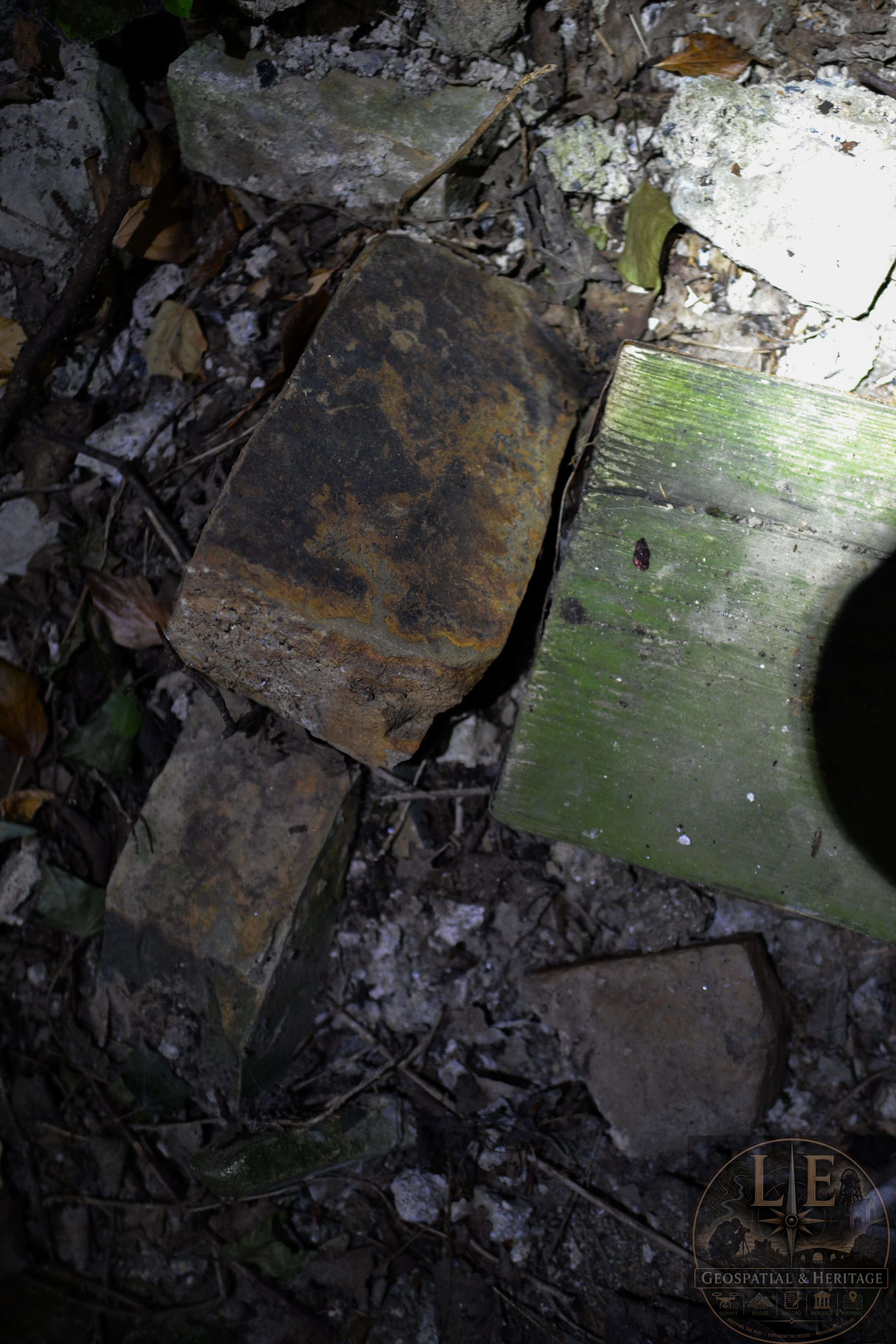
In order to ascertain if this is correct, or indeed, just to find out the use of the building itself, would require a thorough investigation by relevant organisations.
No publicly available plan of the location exists.
No publicly available records exist.
No publicly available, dedicated investigation, of this location has ever been undertaken.
In terms of safety at this location, it is not safe.

The exterior of this location features rusty and sharp roof cladding hanging down, large trees penetrating the external structural integrity, large structural beams jutting out, root growth causing trip hazards, and evidence of some form of occupation by individuals unknown.
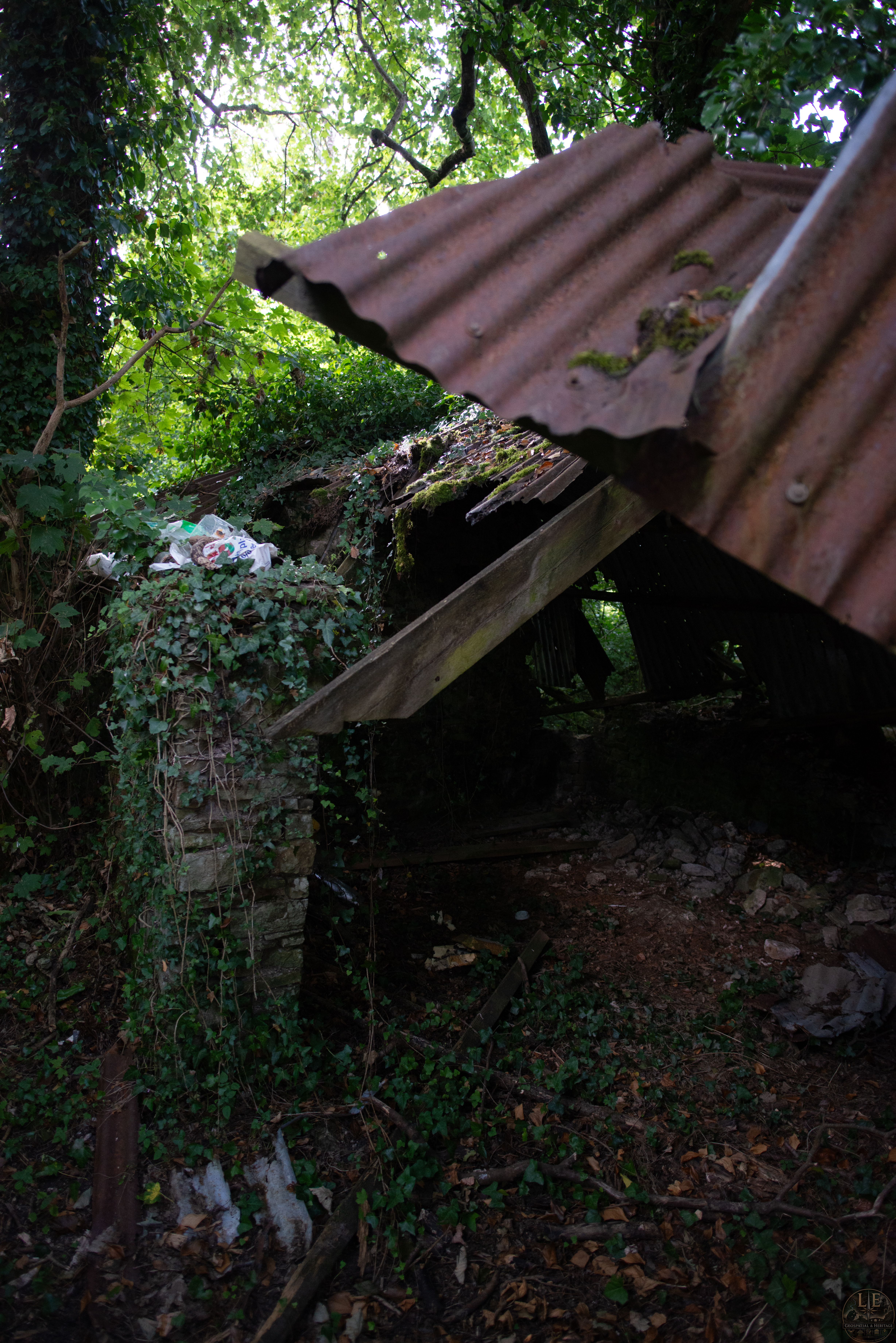
Internally, the structure is severely compromised, with large cracks running from the ground, to the top. One room has already seen the roof and majority of walls collapse, these are now on the floor inside the room.

The spoil tip also presents an additional hazard – Evidence of movement is visible, with the waste seemingly moving down the embankment and towards the rear section of the building and the linear feature.

To see the full LEGH report, please click here, where you will find the full list of reference material used, and a much more in-depth look at this location.
No responses yet